|
|
<< Pulse para mostrar la Tabla de Contenidos >> INTERNET OF THINGS (IoT) |


|
|
|
<< Pulse para mostrar la Tabla de Contenidos >> INTERNET OF THINGS (IoT) |
|
|
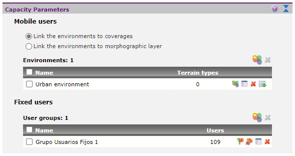
This section presents some specific aspects related to the planning of access networks to provide IoT service such as LoRaWAN, NB-IoT, LTE-Cat 1, etc. The planning process is based on common steps specified in the section on access network planning, although some aspects are presented here to better adapt to this kind of projects. Then, steps of access network planning process are listed, highlighting in each of them, and when necessary, the points to which the user must pay special attention in these networks planning. NEEDS ANALYIS - CONFIGURATION •Cartography. Depending on the service area for the network on project, this type of studies may require the use of rural, urban or mixed cartography. When the stations are located in rural areas, terrain models of 100 and 25 meters resolution are often used. For simulating the effect of multipath losses in the coverage of these stations over urban areas, it is usually used a morphography layer in which the user can include additional losses associated with each urban area. If the stations are located within an urban area, it is advisable to use urban mapping for radio planning (i.e. an elevation model). In this case, no additional losses should be added to the propagation. Finally, it is possible to use multiple layers of altimetry to perform mixed calculations when the station is close to an urban center and the user wants to analyze the propagation within that urban area. •Calculation methods. Different IoT technologies work in very different frequency bands and require some customizations when defining a calculation method applicable to their planning. Here are some proposals for specific environments: oRural environment. Planning in such environments is usually performed using deterministic methods such as UIT-R Rec.P.526 or Deygout method, provided that cartography of the rural area where the network is deployed is available. In these cases it is necessary to consider that the simulation results assure the levels exceeded in 50% of time and locations, so that, in order to ensure higher percentages it will be necessary to use the "fading margin", which is configurable in the basic parameters of the calculation method. Together with these methods, and if morphographic layers are available, it is customary to introduce additional losses associated with the terrain, especially to see the effects of multipath in urban environments. In cases where no precise morphographic layers from the service area are available, it is possible to use empirical methods such as Okumura-Hata, particularized for rural settings. oUrban environment. Planning for urban or mixed areas (rural-urban) can be done by empirical methods (the Okumura-Hata method is an adequate approximation of the range of the signal into a radius from the base station) or deterministic if precise enough urban cartography is available. As a deterministic method, can be used as ITU-R Rec. 1411, Xia-Bertoni or modulated Okumura-Hata method to obtain the signal propagation in city considering the diffractions on the building's roofs, and reflection effects in buildings. Whether using empirical methods or detailed urban cartography, the use of corrections due to terrain use (clutter) is discouraged, since it would be introducing redundant correction on estimates of propagation. PARAMETERIZING STATIONS •Link budget. Since the simplified study based on link budget and calculation of attenuation must be study separately for each transmission path (uplink and downlink), Xirio incorporates in the coverage and radio link studies the possibility of selecting the path under study, in addition to incorporating reception threshold as a parameter. •Stations and sectors. IoT communications networks are typically composed of a station’s distribution in a cellular mesh. Each station can consist of one or more sectors (gateways). The way to define these entities in Xirio is to define as many transmitters as gateways the user wants. PARAMETERIZING IoT DEVICES Xirio allows defining the location of the different IoT devices in the network. To do so, it is required to define a user group in the "Capacity parameters" section and then import the coordinates of the devices that belong to that group. It is possible to create different groups for the different types of IoT devices in the network (for instance: water meters, sensors in street lights, and so on).
In the fixed user groups list, the user can create new user groups It is important to highlight that, unlinke LTE or 5G studies, in the case of IoT services it is not necessary to characterize these fixed users, but only to import their coordinates. This is because, when defined, they will be used for estimating the signal level received in those locations (or the interference level), but they will not be used for calculating the capacity of the network. PLANIFICACIÓN DE REDES •Best server by signal. The user has to give the criteria that Xirio will use to determine the gateway or desired sector (best server) at each location. This gateway will be the one to which each of the IoT devices would be linked at in normal conditions given its location. The usual approach is to work with a best server by signal, that is, the IoT device would be linked to the gateway which provides the highest signal level. The result obtained is a static signal level spot. •Signal level by fixed user. Additionally, Xirio can use the locations of the IoT devices to generate a report gathering, for each IoT device, the data about its best server (gateway), the number of gateways providing a signal level above the threshold in those coordinates and the signal level provided in those coordinates by each one of the gateways in the study. |